Utilizing QR Codes on Maps
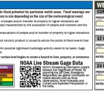
For the Delta Emergency Flood Response Mapbook, our team decided to use QR (quick response) codes to give our static, print, mapbook a dynamic and interactive element. The QR codes we used in the mapbook allow flood responders (with a smart phone app that can read QR codes) to quickly access real-time weather data as […]
Fusion Table InfoWindow
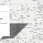
I set this web map up to communicate some personnel stats for planning staff. The client didn’t want a static map. Using a fusion table/map is a fairly easy way to set up a nice looking interactive map. One of the cool features of this one is the dynamic charting in the infowindow for each […]
Master Page Placeholder Text, InDesign
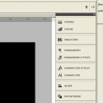
This is a fairly basic InDesign feature but it’s something that frustrated me for a while. Before I spent much time with InDesign I was always frustrated when I received a file with text frames in the master page that I couldn’t access on a document page. Well, actually, I could. If a text frame, […]
Nested Styles with InDesign
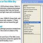
Nested Styles in InDesign is a pretty cool feature. Using nested styles, you can tell InDesign to automatically apply specific styling upto or until a certain character (and that includes hidden characters) then another style up to the next character and so on. So instead of highlighting the first line, enlarging the type size, changing […]
Data Driven Pages
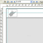
I recently upgraded to ArcGIS 10 and so far I like it a lot, for the most part. One of the features I like the most, that has already made my life easier, is the data driven pages feature. Instead of using extensions, whether free (ds mapbook) or paid (map logic), fairly robust mapbooking can […]


