Grid of measured points with python
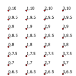
I’ve needed to create a measured grid of points for a variety of reasons in my GIS career. Here’s a flexible bit of code to create a grid of points spanning a vertical and horizontal range, at a specific interval for each – defined in the script. This method also allows any coordinate system and […]
Export MXDs in all subdirectories
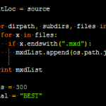
This is an answer to the question in my post on batch exporting mxd’s in a folder. James asked about exporting all mxds in all subdirectories of a root folder. Thanks James for distracting me from my work this afternoon to solve this :). Below is the code to accomplish this. The first loop populates […]
Streetview scrape
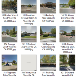
I wrote this script to download google streetview images locally for a list of addresses in a text file, one address per line. It’s an easy (at the least preliminary) way to get images of structures, houses, etc.. We needed this for an inventory of certain structures in a planning effort, but this can be […]
Zip all shapefiles in directory individually
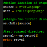
This script zips individual shapefiles within a defined directory. The zipfiles are named identical to the shapefile itself. This is useful for platforms like CartoDB and MapBox, especially if you are in an Esri workflow. If you are usging a geodatabase, it can be converted to shapefiles, then those shapefiles can be passed through this […]
Extract Excel attributes to CSV
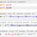
This is a python solution to pull specific cells from a bunch of excel files into one CSV file. The source excel files have a consistent format – that is, a given cell in every excel file contains the same information. I wrote this script because I needed one compiled table with spatial information for geocoding […]


